Hello, Welcome to HEYIKO!
Discover Your World. Connect with Opportunities.
HEYIKO is a geospatial technology platform connecting people, places, businesses, and opportunities through innovative mapping and location intelligence solutions.
From digital maps and land services to smart agriculture, business discovery, and environmental monitoring, we transform location data into valuable insights that help you make smarter decisions
The Heyiko Idea
Connecting people, places, businesses, and opportunities through location technology.
My Town – Discover and Improve Your Community
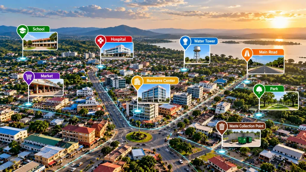
HEYIKO connects people with their towns through location-based information, local events, public service updates, and community problem reporting, helping citizens and authorities build better communities.
Business – Discover and Promote Businesses
HEYIKO helps people find nearby businesses, shops, services, and investment opportunities, while allowing business owners to advertise their products and services to potential customers.
Measure – Smart Mapping and Land Services
HEYIKO enables users to measure land and distances, identify locations, access professional mapping services, and obtain geospatial information for land management, agriculture, planning, and investment.
Geospatial Intelligence – Turn Location Data into Opportunities
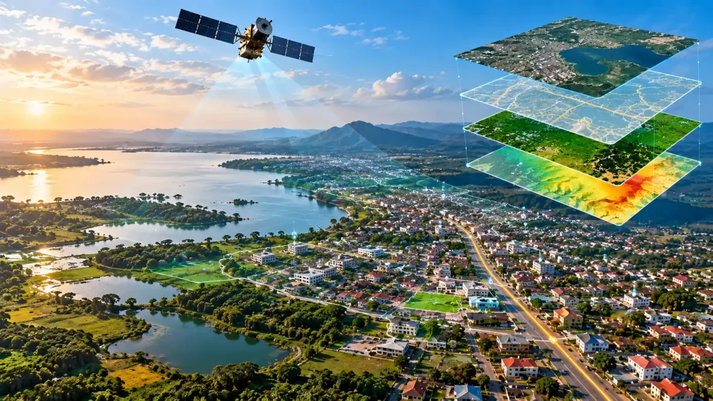
HEYIKO transforms geographic data into valuable information through GIS, satellite imagery, digital maps, and location intelligence to support better decisions in business, agriculture, urban planning, environmental management, and investment.
OUR SERVICES
We transform geographic information into practical solutions that help individuals, businesses and institutions understand locations, manage land, analyse spatial data and make informed decisions. From professional map production to digital mapping solutions, we deliver services tailored to your needs.
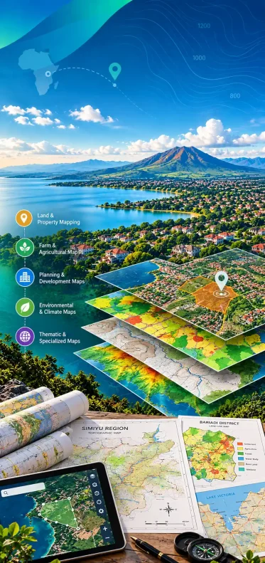
1. Maps & Geospatial Solutions
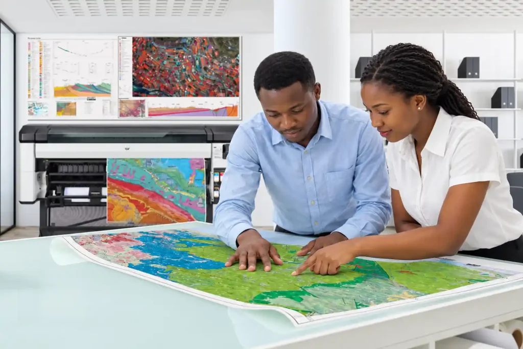
We create professional maps and geospatial solutions tailored to the needs of individuals, businesses, institutions and development projects. Whether you need a custom map, land or farm mapping, planning maps, or high-quality map printing, HEYIKO helps you turn geographic information into clear, useful and professional outputs.
Our services include:
- Land & Property Mapping: Mapping land parcels, properties and surrounding geographic features.
- Farm & Agricultural Mapping: Mapping farms, measuring field areas and visualizing agricultural features.
- Planning & Development Mapping: Preparing maps to support land-use planning, site assessment and development projects.
- Climate & Environmental Mapping: Mapping environmental features, land cover and natural resources.
- Custom Map Design & Production: Creating maps tailored to your specific requirements, data and intended use.
- Digital & Printed Maps: Preparing maps in digital formats and printing them in suitable sizes and layouts for offices, fieldwork, reports, presentations and display.
- Professional Map Printing: Bring your existing map files to HEYIKO for printing, or let us design and produce a map for you from your requirements and available geographic information.
Whether you need a map printed, redesigned or created from scratch, we work with you to deliver a solution that fits your purpose.
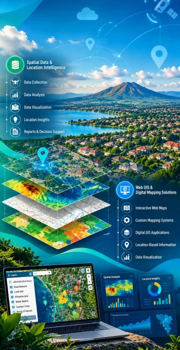
2. Spatial Data & Location Intelligence
We collect, organize, analyse and visualize geographic data to help businesses, institutions and organizations understand locations, identify spatial patterns and make informed decisions. By combining geographic information with relevant data, we turn complex information into practical insights.
Our services include:
- Geographic Data Collection & Management
- GIS Database Development
- Spatial Data Analysis & Visualization
- Location-Based Research & Reporting
- Geographic Information for Business and Development Planning
3. Web GIS & Digital Mapping Solutions
We help organizations make geographic information accessible and useful through interactive maps and digital mapping systems. Our solutions support the visualization, management and sharing of location-based information for different operational and development needs.
Our services include:
- Interactive Web Maps
- Web GIS Development
- Digital Geographic Information Systems
- Location-Based Information Solutions
- Customized Mapping Applications
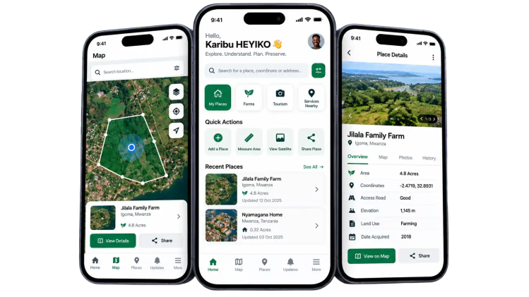
Brings mapping and location technology to your smartphone. It helps you capture, measure, explore and organize information about places around you.
01. Find & Save Locations
Use your phone's GPS to identify and save the location of a farm, home, property, business or any important place.
06. Request HEYIKO Services
Use the information collected through the app to request HEYIKO services such as professional maps, farm mapping, GIS analysis and other spatial solutions.
05. Capture Place Information
Add useful information about a location, including photos, notes, names and other details, creating a digital record of the place.
02. Measure Land & Areas
Mark points around an area and let the app create a digital boundary and calculate its approximate area and perimeter.
03. Create Digital Boundaries
Mark the corners of a farm, plot or other area and create a digital representation of its boundary directly on the map.
04. Mark Important Places
Put important features on the map.
New Posts
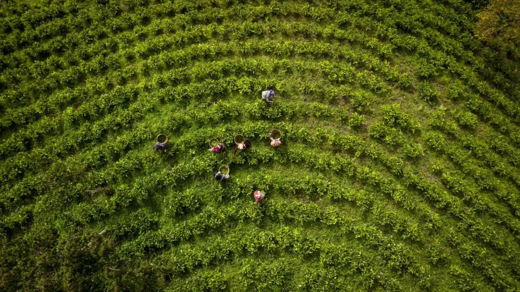
Smart Farming Starts with a Map: How Geospatial Technology Can Help Tanzanian Farmers
Why Every Business, Farm, School and Institution Needs a Professional Map
Why Every Growing City Needs a Digital Map of Its Businesses, Infrastructure and Services
What Is Spatial Technology? A Simple Guide to the Future of Location-Based Intelligence
Check out what clients say

“What impressed me was not just the map itself, but how HEYIKO organized the information. Everything became easier to see and understand.”
Project Coordinator

“The map gave me a much better understanding of my farm and what surrounds it. It is now easier for me to discuss the farm and plan for its future.”
Johanna Nziku
Frequet Asked Questions -FAQs
HEYIKO originates from the Kisukuma language, one of the indigenous languages spoken in Tanzania, particularly in the Lake Zone. In Kisukuma, “Heyiko?” is used to ask a question meaning: “Where is it?” or “Where is that place?” The name therefore has a natural connection with location, place and geography. It reflects a simple but fundamental question: “Where is it?” This idea is at the heart of what HEYIKO Spatial Technologies Limited does. Every farm, home, business, road, property, project and natural resource exists somewhere. By using maps, geographic data, GIS and spatial technology, HEYIKO helps people understand where things are, what surrounds them and what that location means. Our current services include: We can create maps for farms, plots, homes, businesses, schools, institutions, communities, development sites and other locations. Depending on the project, maps can show boundaries, roads, buildings, water bodies, nearby facilities and other relevant geographic information Yes. We can create a map of your land, home, farm, compound or site, including its location and relevant surrounding features. We can also organize selected photos, descriptions and information about the place. Yes. One of our ideas is that a place is more than its location—it can have a story. Depending on the service, we can include information such as when a farm or house was acquired, when development began, important milestones and selected photographs Yes. Our Site & Development Planning service can help visualize how buildings, roads, parking, gardens, open spaces and other facilities can be organized on a site. Where appropriate, we can also provide 3D visualizations and supporting maps Measuring your farm with HEYIKO is simple. Open the HEYIKO App, turn on your phone's GPS/location, select Farm Measurement, and start marking the corners of your farm. Walk to the first corner of your farm and tap “MARK POINT.” The app records the GPS coordinates of that point. Continue walking to the next corner and tap “MARK POINT” again. Repeat this process until all the important corners of the farm have been marked. Once all points have been marked, HEYIKO connects the points to create the farm boundary and calculates the farm area After you have marked the necessary boundary points, HEYIKO connects the points in sequence to create a digital polygon representing the farm boundary. The app then calculates the area enclosed by that polygon. The result can be displayed in units such as: The HEYIKO App provides GPS-based mapping and area measurement for information, planning and mapping purposes. The result should not automatically be treated as a legally recognized cadastral or boundary survey. Where a legally recognized survey, boundary determination or cadastral service is required, an appropriately qualified and licensed professional should be engaged in accordance with applicable requirements. Because you can start by mapping your own farm using your phone. You don't need to begin with complicated technical procedures: Find the corner → Mark the point → Walk to the next corner → Mark the point → Repeat → Finish → Know your farm area. Then HEYIKO can turn that basic location information into a professional Farm Map and, over time, additional geographic information about your farm. Simply contact us and tell us what you want to map, where the location is and what you want to achieve. Our team will discuss your requirements, recommend a suitable service and provide a quotation where applicable. Contuct us through email: info@heyiko.co.tz or Whatsapp Number: +255 678 661 447 The cost depends on the type of service, size of the area, location, data required, level of accuracy, fieldwork and final deliverables. Contact us for a quotation based on your specific project. What does “HEYIKO” mean?
What services does HEYIKO provide?
What types of maps can HEYIKO create?
Can HEYIKO map my house, plot or farm?
Can HEYIKO preserve the history or story of my place?
Can HEYIKO help me plan how to develop my land?
How can I measure my farm using the HEYIKO App?
What do I need before measuring my farm?
How does HEYIKO calculate the size of my farm?
Is the HEYIKO App measurement a legal land survey?
Why should I measure my farm with HEYIKO?
How can I request a HEYIKO service?
How much do HEYIKO services cost?