
What Is Spatial Technology? A Simple Guide to the Future of Location-Based Intelligence
In our daily lives, location matters more than we often realize. We use maps to find places, GPS to navigate, mobile applications to locate services, and digital platforms to understand what is happening around us. Behind many of these technologies is a powerful field known as Spatial Technology. But what exactly is Spatial Technology, and why is it becoming increasingly important?
What Is Spatial Technology?
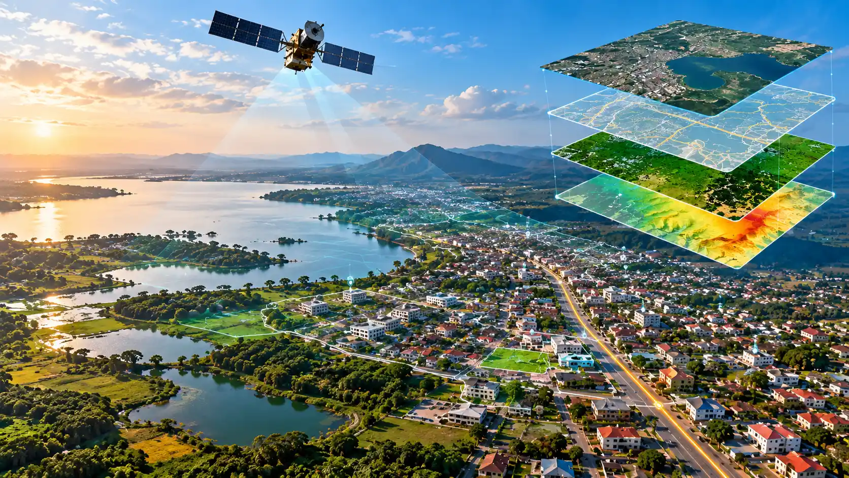
Spatial Technology is the use of technology to collect, manage, analyze and visualize information based on location.
In simple terms, it helps us understand what is where, what is happening there, and how places are connected.
For example, knowing that a shop exists is useful. But knowing where the shop is located, what businesses are around it, how many potential customers live nearby, which roads connect to it, and how the area is changing over time creates much more valuable information.
That is the power of spatial technology.
More Than Just Maps
Spatial technology is often associated with digital maps, but it goes far beyond mapping.
It brings together technologies such as:
- GIS (Geographic Information Systems)
- GPS and location services
- Remote sensing and satellite imagery
- Spatial databases
- Web GIS and digital mapping platforms
- Location intelligence
- Artificial Intelligence and GeoAI
- 3D mapping and digital twins
These technologies allow organizations to turn location-based data into information that can support better decisions.
Why Does Location Intelligence Matter?
Imagine a city wants to improve waste collection. A traditional approach may simply record complaints about uncollected waste. With spatial technology, the city can go further. It can map the locations of waste problems, identify areas where complaints are concentrated, analyze collection routes, and determine which areas repeatedly experience the same problem. The question changes from:
“What problem do we have?”
to:
“Where is the problem, why is it happening there, and how can we respond more effectively?”
That is the essence of Location Intelligence.
How Can Spatial Technology Be Used?
Spatial technology has applications across almost every sector.
- Government: urban planning, infrastructure management, service delivery, environmental monitoring and evidence-based decision-making.
- Business: identifying markets, understanding customers, finding suitable locations and analyzing competition.
- Land Management: property mapping, land-use planning, surveying and spatial analysis.
- Agriculture: monitoring farms, crops, soil conditions and agricultural productivity.
- Transport: route planning, navigation, traffic analysis and logistics.
- Environment: monitoring forests, water resources, flooding, climate risks and environmental changes.
In other words, wherever location matters, spatial technology can create value.
The Future Is Spatial
The future of spatial technology is moving beyond static maps. With cloud computing, real-time data, artificial intelligence, satellite imagery and connected devices, spatial platforms are becoming increasingly intelligent. A future system may not simply show you a map. It may help answer questions such as:
- Where are businesses growing fastest?
- Which parts of a city need better infrastructure?
- Where are environmental risks increasing?
- Which areas are suitable for a new investment?
- What has changed in this location over the last five years?
This is where Spatial Technology meets Artificial Intelligence, creating what is increasingly known as GeoAI.
Where Does HEYIKO Fit?
At HEYIKO Spatial Technologies, we believe that location is one of the most valuable forms of information. Our vision is to use spatial technology to connect people, businesses, places, infrastructure and institutions through location intelligence. HEYIKO is not simply about putting points on a map. The bigger vision is to build systems that help people understand what exists, where it exists, what is happening there, and what the information means for better decisions. Because the future is not only about having more data.
The future is about understanding where things happen — and turning that understanding into action.
HEYIKO: Wapi huko?