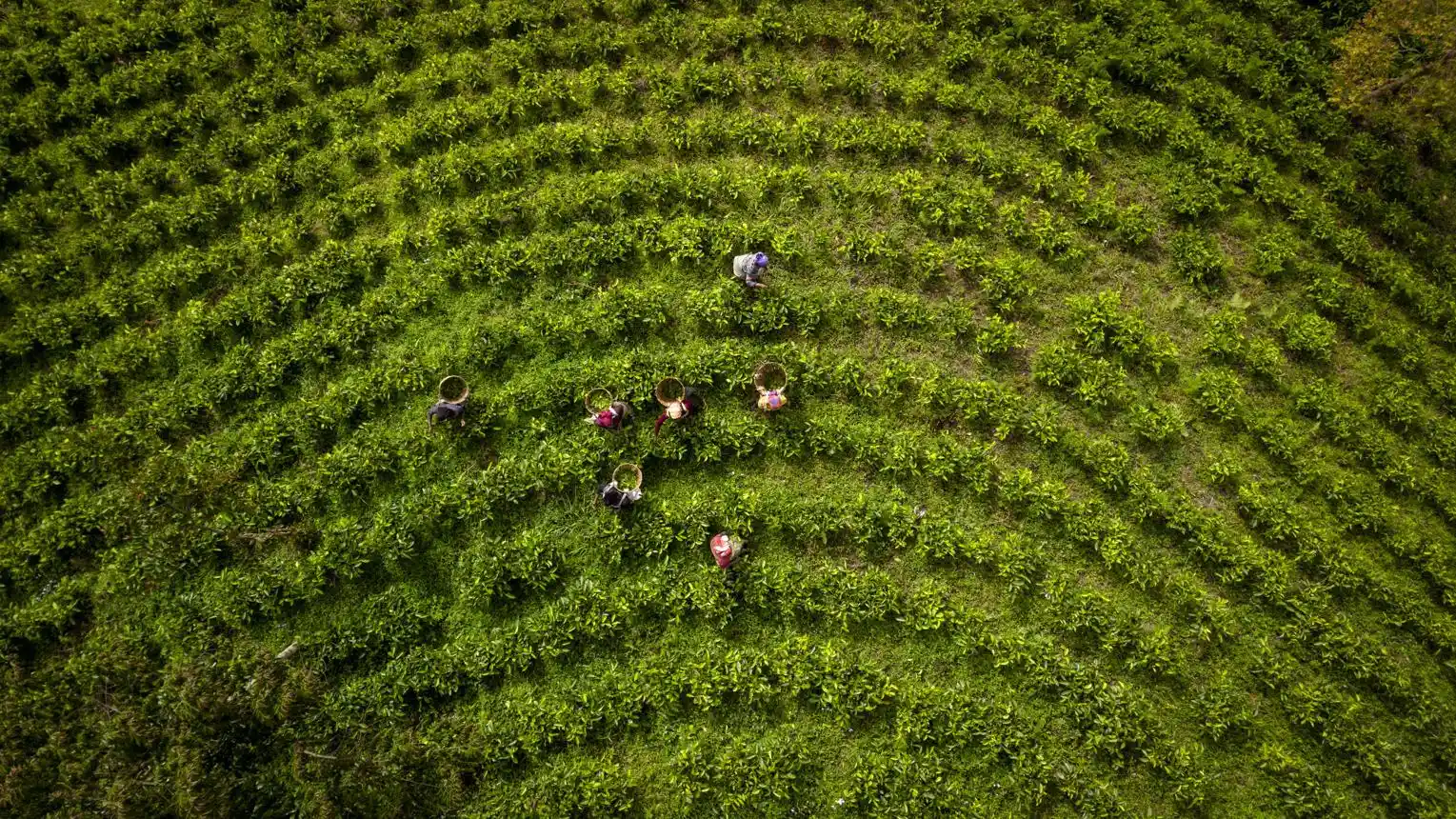

Smart Farming Starts with a Map: How Geospatial Technology Can Help Tanzanian Farmers
Agriculture is the backbone of many communities in Tanzania, providing food, employment, and income for millions of people. However, farmers continue to face challenges such as unpredictable rainfall, declining soil fertility, water shortages, pests, and inefficient land use.
One way to address these challenges is through geospatial technology—the use of maps, GPS, satellite imagery, and Geographic Information Systems (GIS) to understand land and make better agricultural decisions. A well-designed farm map can help farmers transform the way they plan, manage, and develop their agricultural activities.
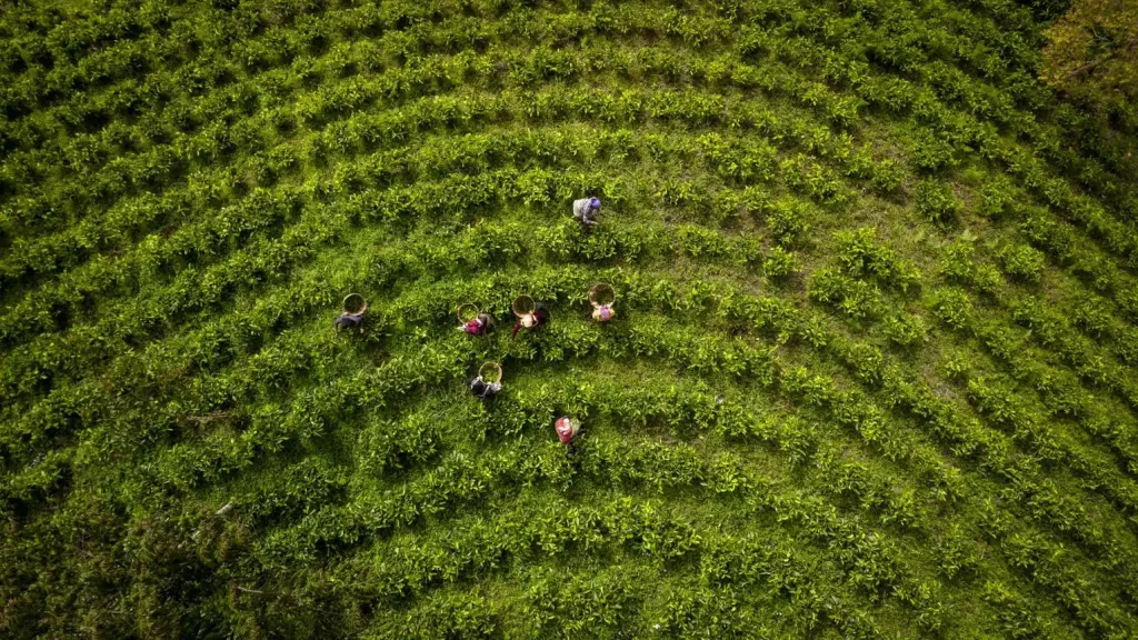
1. Understanding Your Farm Through Mapping
Every farm has unique characteristics. Some areas may have fertile soils, while others may experience poor drainage, erosion, or water shortages.
A professional farm map can show field boundaries, access roads, water sources, buildings, irrigation systems, and different farming zones. This information helps farmers understand how their land is organized and identify areas that need improvement.
With accurate spatial information, farmers can plan farm activities more efficiently and make better use of available land.
2. Improving Soil and Water Management
Soil and water are essential resources for successful agriculture. Geospatial technology can help farmers understand terrain, drainage patterns, slope, and the distribution of water resources.
Combined with soil testing and field observations, GIS can help identify areas suitable for particular crops, locations where erosion control may be needed, and potential sites for water harvesting or irrigation infrastructure.
For farmers in regions affected by irregular rainfall, these insights can support better preparation and more informed water-management decisions.
3. Choosing Suitable Crops and Planning Production
Not every crop performs equally well in every location. Factors such as soil properties, elevation, temperature, rainfall, and water availability influence agricultural suitability.
GIS can combine these different datasets to help assess which areas may be more suitable for particular crops.
Satellite imagery can also help monitor vegetation conditions and identify changes in crop growth over time. When used alongside field inspections, this information can help farmers identify areas that may require attention.
These technologies do not eliminate agricultural risks, but they provide valuable information for making more informed decisions.
4. Increasing Efficiency and Supporting Investment
Farm mapping is useful not only for smallholder farmers but also for commercial farms, agricultural cooperatives, and investors.
A detailed farm map can support the planning of planting areas, farm roads, irrigation networks, storage facilities, and other infrastructure. It can also help managers organize information about different fields and monitor farm development.
For agricultural investors, spatial information can support the initial assessment of land suitability, accessibility, and infrastructure requirements before committing resources.
Better information leads to better planning—and better planning can help reduce avoidable costs.
5. The Future of Smart Farming in Tanzania
As technology becomes more accessible, Tanzanian farmers have opportunities to benefit from digital agriculture. Smartphones, GPS devices, satellite imagery, and digital maps can help bridge the gap between traditional farming knowledge and modern agricultural planning.
However, effective smart farming requires more than technology alone. Reliable data, local agricultural knowledge, professional guidance, and affordable solutions are equally important.
By combining these elements, farmers can make better use of their land, manage resources responsibly, and prepare for changing environmental conditions.
How HEYIKO Can Help
HEYIKO Spatial Technologies, provides geospatial solutions that can support agricultural planning and land management.
Our services can include:
- Farm boundary and layout mapping.
- GIS mapping and agricultural spatial data management.
- Mapping of water sources, access roads, and farm infrastructure.
- Satellite imagery analysis and land-use mapping.
- Digital maps to support farm planning and development.
Our goal is to help farmers, agricultural businesses, and investors turn location data into practical information for better decisions.
Conclusion: Know Your Land, Grow Your Future
Successful farming starts with understanding the land. By using professional maps and geospatial technology, farmers can gain a clearer picture of their resources, identify opportunities, and plan agricultural activities more effectively.
Your farm has potential. A map can help you see it.
HEYIKO: Wapi huko?