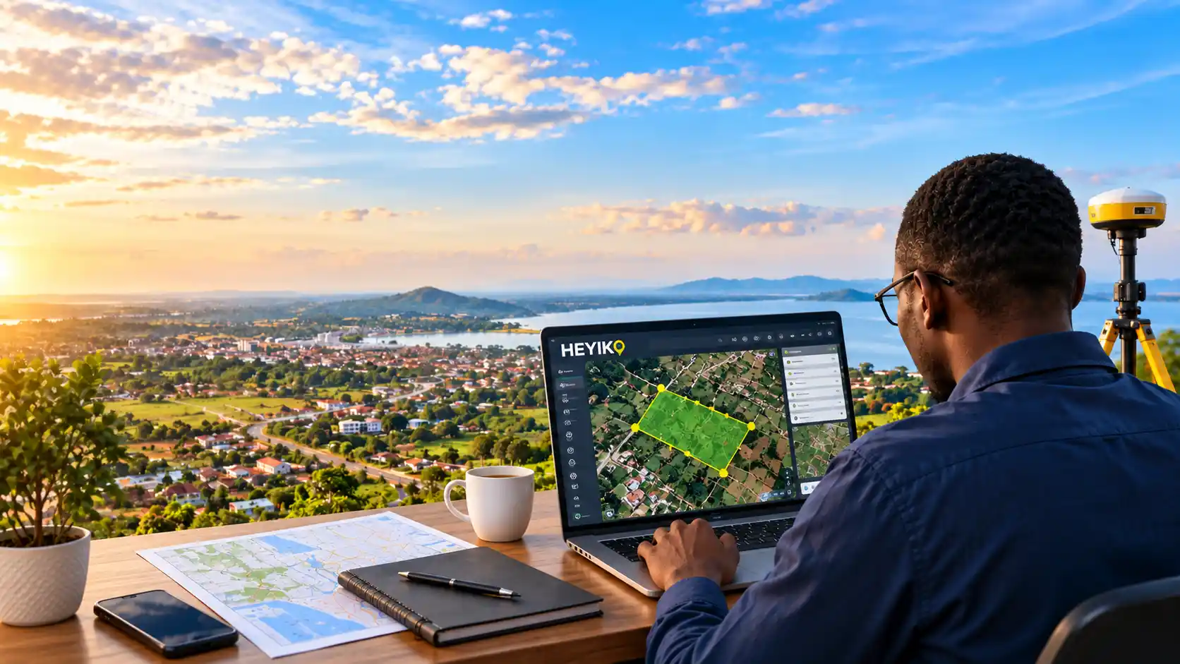

Turning Location Data into Smart Decisions
Location matters. Where a piece of land is located, what surrounds it, how it connects to roads and other places, and what information is associated with it can make a significant difference in how people, businesses, institutions, and communities make decisions.
In a rapidly changing world, simply having information is no longer enough. We need accurate, accessible, and meaningful location-based information that can help us understand places and make better decisions.
This is where HEYIKO Spatial Technologies comes in.
From Location to Information
Every place has a story.
A piece of land can have information about its location, boundaries, surrounding features, accessibility, land use, environmental characteristics, and many other spatial attributes. When this information is properly organized and presented through maps and digital technologies, it becomes much easier to understand.
HEYIKO focuses on transforming location-based information into useful digital and visual information that can support individuals, businesses, institutions, and organizations.
Instead of looking at location as just a point on a map, HEYIKO looks at the bigger picture.
Where is it? What is around it? What information can we learn from it? And how can that information support better decisions?
The Power of Maps
Maps are more than drawings.
A good map can help people see relationships that may not be obvious from ordinary descriptions or lists of information. It can show locations, connections, patterns, and spatial relationships in a simple and understandable way.
With modern mapping technologies, maps can also become interactive and digital, allowing users to explore information in ways that traditional paper maps cannot.
HEYIKO is working to make this type of technology more accessible by developing practical solutions for mapping, spatial information, digital location services, and geospatial data visualization.
Supporting Smarter Decisions
Imagine a business looking for a suitable location.
Instead of relying only on assumptions, the business can use location-based information to understand the area, nearby features, accessibility, and other relevant factors.
Imagine a landowner who wants to better understand and organize information about their property.
Imagine an agricultural organization that wants to visualize farms and agricultural information.
Imagine an institution that needs a digital map to understand where its facilities, projects, or activities are located.
In each situation, location becomes an important part of the decision-making process.
HEYIKO aims to make that information easier to access, understand, visualize, and use.
Technology Meets the Real World
The future of location technology is not only about maps. It is about connecting people, places, data, and technology.
Through digital platforms and innovative solutions, HEYIKO is exploring new ways of helping users interact with location-based information.
From digital maps and spatial data to web-based and mobile solutions, technology can make geographic information more accessible and useful.
This creates opportunities for individuals, businesses, government institutions, development organizations, researchers, and communities to work with location information in more efficient ways.
More Than a Map
At HEYIKO, we believe that a map is only the beginning.
Behind every map there can be valuable information. When that information is properly organized and presented, it can help answer important questions and support informed decision-making.
That is why our vision goes beyond simply creating maps.
We are building a future where location information becomes a practical digital resource.
A future where people can better understand their surroundings.
A future where businesses can use location intelligence to explore opportunities.
A future where organizations can visualize their activities and assets.
And a future where technology makes spatial information easier for everyone to access and understand.
Building the Future with Spatial Technology
As Tanzania and Africa continue to embrace digital transformation, the importance of reliable location-based information will continue to grow.
Urban development, agriculture, environmental management, infrastructure, real estate, transportation, tourism, business expansion, and many other sectors depend on understanding where things are and how they relate to one another.
HEYIKO Spatial Technologies is positioned to be part of this transformation.
Our goal is simple:
To turn location data into meaningful information and meaningful information into smarter decisions.