
Why Every Growing City Needs a Digital Map of Its Businesses, Infrastructure and Services
Cities are growing faster than ever. New businesses are opening, roads are expanding, buildings are being constructed, and new services are emerging every day. Yet, in many growing cities, it is still difficult to answer a simple question: What exists, where is it located, and how is the city changing?
This is where a digital map of the city becomes important.
More Than Just a Map
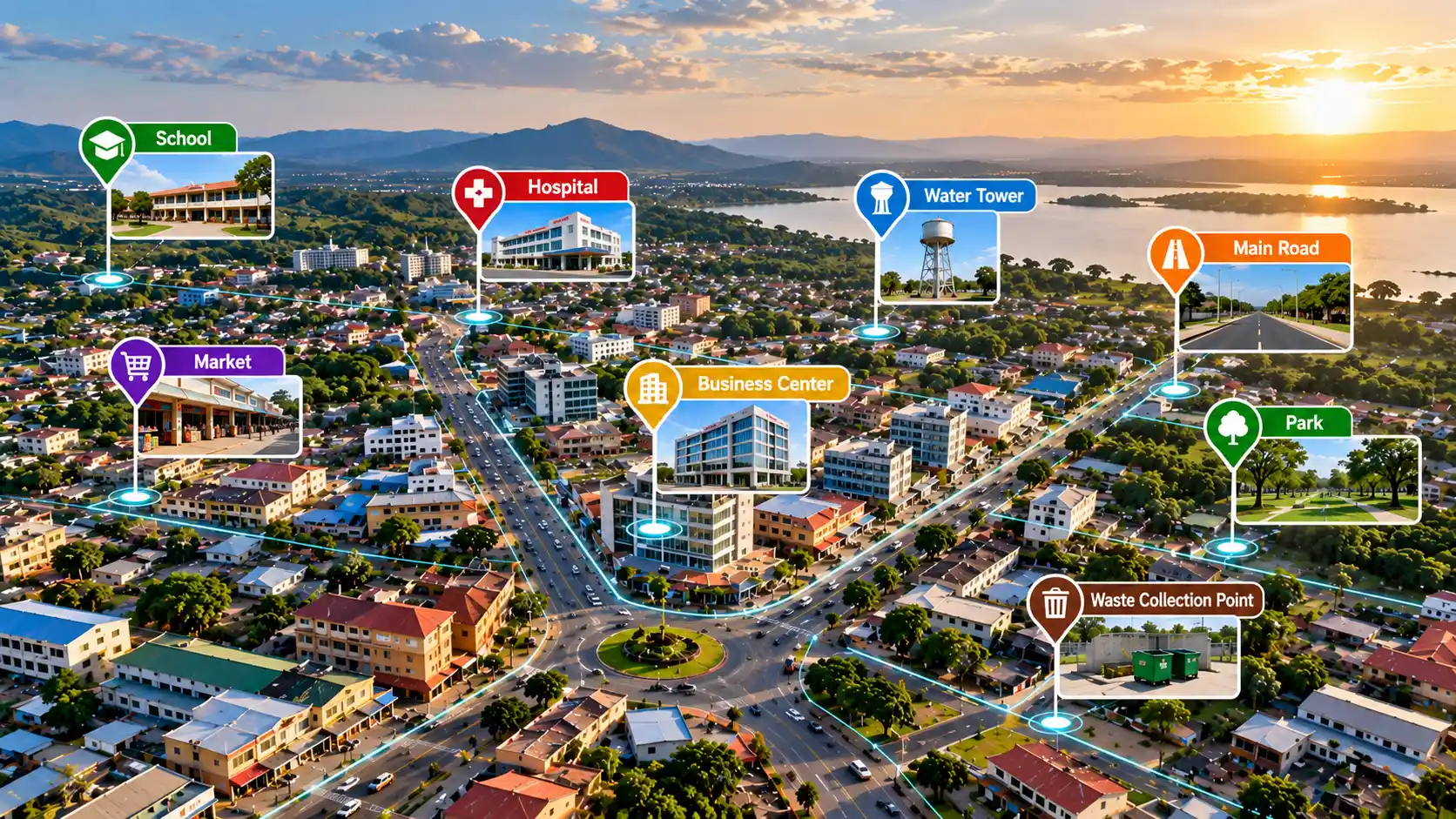
A modern digital city map is not simply a picture showing roads and buildings. It is a living spatial database containing information about businesses, health facilities, schools, markets, roads, water points, waste collection areas, public infrastructure and other important places. Each location can carry useful information such as its name, category, coordinates, status and other relevant details.This transforms a map from something we look at into something we can use to understand a city.
Helping People Find What They Need
For residents and visitors, a digital map makes it easier to discover businesses and services around them. A person looking for a pharmacy, restaurant, hardware shop, school, health facility or other service can quickly identify what is nearby and understand where it is located. This also creates opportunities for local businesses to become more visible to potential customers.
Helping Governments Plan Better
For city authorities, spatial information can support better planning and service delivery.
A digital map can help answer questions such as:
- Where are new settlements developing?
- Which areas have fewer essential services?
- Where are roads or drainage systems inadequate?
- Where are waste-management problems concentrated?
- Where should new infrastructure or services be prioritized?
Instead of relying only on general reports, decision-makers can use location-based evidence to understand what is happening on the ground.
Understanding How a City Changes
The real power of a digital map comes when it is continuously updated. A business can open, relocate or close. A new road can be constructed. A building can appear. A waste problem can emerge and later be resolved. When these changes are recorded over time, the digital map becomes a historical record of the city’s development. This creates valuable information for urban planning, investment, research and development.
The Future of Digital Cities
As cities become more connected, digital mapping will increasingly work together with GIS, satellite imagery, GPS, artificial intelligence and real-time data. The goal is not simply to know where things are, but to understand what is happening, why it is happening, and what may happen next.
At HEYIKO Spatial Technologies, we believe that every growing city should have reliable spatial information that connects people, businesses, infrastructure and institutions.
Because a city that knows where things are is better prepared to understand where it is going.
HEYIKO: Wapi huko?