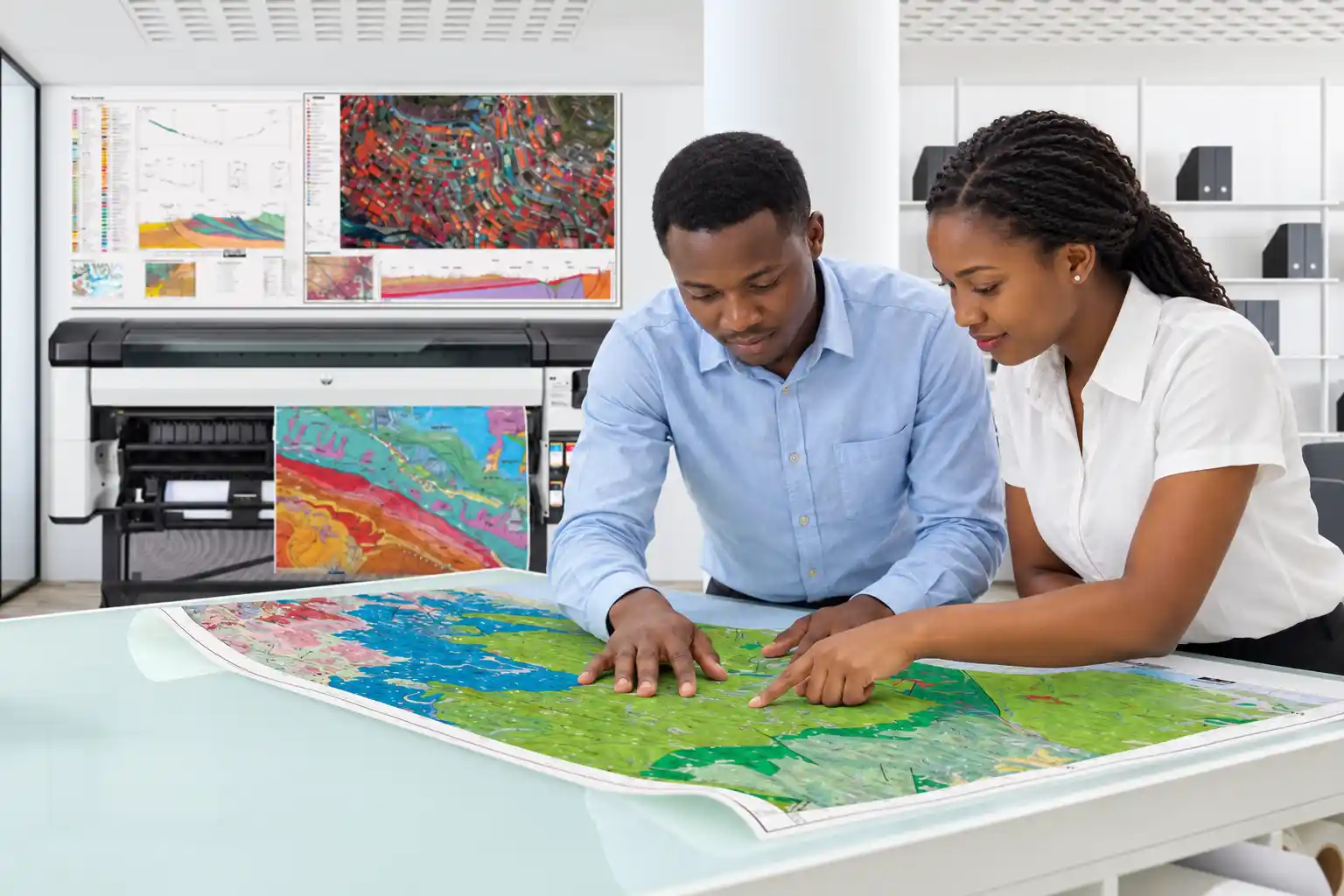

Why Every Business, Farm, School and Institution Needs a Professional Map
In today’s world, location is more than just a place on a map. It is valuable information that helps people make better decisions, manage resources, improve services, and plan for the future.
Whether you own a business, manage a farm, operate a school, or lead an institution, having a professional map can make a significant difference in how you organize, manage, and develop your property.
But why exactly does every business, farm, school, and institution need a professional map?
1. Professional Maps Help Businesses Grow
For businesses, location plays an important role in attracting customers, managing property, and planning expansion.
A professional map can help business owners identify the exact location of their premises, show customers how to reach them, and present their facilities more professionally.
For example, a hotel can use a location map to show its buildings, access roads, parking areas, entrances, and nearby attractions. A factory can map its buildings, storage facilities, production areas, and transport routes. A retail business can use a location map to make it easier for customers and suppliers to find its premises.
Professional maps can also support business expansion by helping investors and managers understand the surrounding area, accessibility, and available infrastructure.
2. Every Farm Needs a Map for Better Agricultural Management
Agriculture is one of the most important economic activities in Tanzania. Yet many farmers and agricultural businesses manage large areas of land without detailed maps.
A professional farm map can show field boundaries, farm access roads, irrigation systems, water sources, buildings, storage facilities, and different agricultural production zones.
With GIS and GPS technology, farmers can also organize information about soil characteristics, crop distribution, drainage patterns, and other factors relevant to agricultural planning.
For commercial farms, estate managers, agricultural cooperatives, and agricultural investment projects, these maps can improve operational planning and help identify opportunities for more efficient land use.
For example, a farm owner planning to introduce irrigation can use a detailed map to understand the locations of water sources, cultivated fields, and existing infrastructure before making investment decisions.
3. Schools Need Professional Maps for Planning and Safety
Schools, colleges, universities, and training institutions manage buildings, classrooms, laboratories, libraries, playgrounds, staff facilities, access roads, and open spaces.
Without a clear map, it can be difficult to understand how these facilities are distributed across a campus or how the available land can accommodate future development.
A professional school map can show:
- Classroom blocks and administrative offices.
- Laboratories, libraries, workshops, and staff facilities.
- Student accommodation, dining halls, and recreational areas.
- Roads, pedestrian pathways, parking areas, and entrances.
- Water supply systems, sanitation facilities, and designated emergency assembly points.
For institutions planning to construct additional classrooms, hostels, laboratories, or other facilities, a campus map can provide an important foundation for development planning.
A well-designed map can also help visitors, parents, students, suppliers, and emergency responders identify important facilities more easily.
4. Institutions Need Maps to Manage Their Assets
Government offices, hospitals, churches, NGOs, factories, hotels, and other institutions often manage multiple buildings, plots, infrastructure networks, and service locations.
A professional institutional map helps bring these assets into one organized spatial view.
For example, a hospital can map its wards, laboratories, staff housing, roads, parking areas, and utility infrastructure. A church organization can map its parishes, schools, health facilities, land holdings, and development projects across different districts.
Similarly, a local government authority can use GIS maps to support infrastructure planning, service delivery, environmental management, and monitoring of development projects.
When linked to a database, a map can do more than display locations. It can connect each mapped facility to useful information such as its name, function, condition, responsible department, and maintenance history.
5. Professional Maps Help People Understand Land and Property
Land is a valuable resource, and making decisions about it requires reliable information.
A professional map can help property owners visualize the layout of their land, identify physical features, understand access routes, and organize information about existing developments.
For property developers and investors, maps can also help communicate the location of a proposed project, nearby infrastructure, surrounding settlements, and potential access constraints.
However, it is important to understand that a general location map, a GIS property map, and an official cadastral survey plan serve different purposes.
Where legal boundaries, land ownership, subdivision, or formal land transactions are involved, the appropriate official records and qualified surveying professionals must be consulted.
6. Digital Maps Make It Easier for Customers to Find You
Imagine a customer wants to visit your business for the first time. They know your business name but do not know exactly where it is located.
A professional location map can help solve this problem.
By combining a clear map with accurate location coordinates, directions, landmarks, and digital location-sharing tools, businesses and institutions can make their premises easier to find.
Digital mapping can also support modern services such as QR codes that direct users to a location page, facility information, or navigation instructions.
For example, a school could place a QR code on its prospectus, allowing parents to scan it and view the school’s location. A hotel could include a location QR code on its advertisements. A property developer could use QR codes to connect prospective buyers to information about a development site.
When designed and implemented correctly, these tools connect physical places with digital information.
7. Maps Support Future Development and Investment
A professional map is not only useful for managing what already exists. It can also help people plan what comes next.
Businesses planning to expand, schools preparing to construct new facilities, farmers considering irrigation, and institutions developing new projects can all benefit from understanding the spatial characteristics of their properties.
Depending on the data available, GIS analysis can help identify suitable locations, assess accessibility, compare alternative sites, and visualize relationships between land, infrastructure, and surrounding communities.
For example, an investor considering a new commercial development may need to understand road access, nearby settlements, existing services, land-use restrictions, and other factors before committing funds.
A map provides a visual foundation for this analysis, although investment decisions should also consider financial feasibility, legal requirements, market demand, and relevant technical assessments.
8. Why Choose HEYIKO Spatial Technologies Ltd.?
HEYIKO Spatial Technologies., we see mapping as more than drawing lines and placing symbols on paper. We see it as a way of helping people understand their surroundings and make better decisions.
Our geospatial approach brings together mapping, spatial data, location technology, and digital solutions to serve businesses, landowners, farmers, schools, institutions, and development organizations.
Our services can include:
- Professional mapping: Maps for businesses, institutions, farms, properties, and development projects.
- GIS and spatial data: Organizing and visualizing geographic information for planning and management.
- Land and property mapping: Supporting property visualization and land-use planning, with official surveying services undertaken where appropriately qualified.
- Campus and facility mapping: Mapping buildings, roads, utilities, and other institutional facilities.
- Agricultural mapping: Supporting farm layout planning and agricultural spatial information.
- Digital location solutions: Helping connect places with digital maps, location information, and QR-code experiences.
- Custom geospatial solutions: Developing mapping products according to project requirements.
Each project begins with understanding the client’s needs, the purpose of the map, the available data, and the required level of accuracy.
The goal is to provide useful, clear, and fit-for-purpose mapping solutions that support real-world decisions.
9. What Information Do You Need Before Requesting a Professional Map?
To help prepare an appropriate map, it is useful to identify:
- The location: Where is your property, farm, business, school, or institution?
- The purpose: Do you need the map for planning, navigation, asset management, presentation, or another purpose?
- The available information: Do you have coordinates, an existing survey plan, site drawings, GPS data, or other records?
- The features to include: Which buildings, roads, boundaries, facilities, or natural features should appear?
- The required output: Do you need a printed map, a digital PDF, a GIS dataset, an interactive web map, or a combination?
These details help determine the appropriate mapping method and the data collection required.
Let HEYIKO Map Your World
Contact us discuss your mapping needs and explore a suitable geospatial solution for your project.
HEYIKO: Wapi huko?