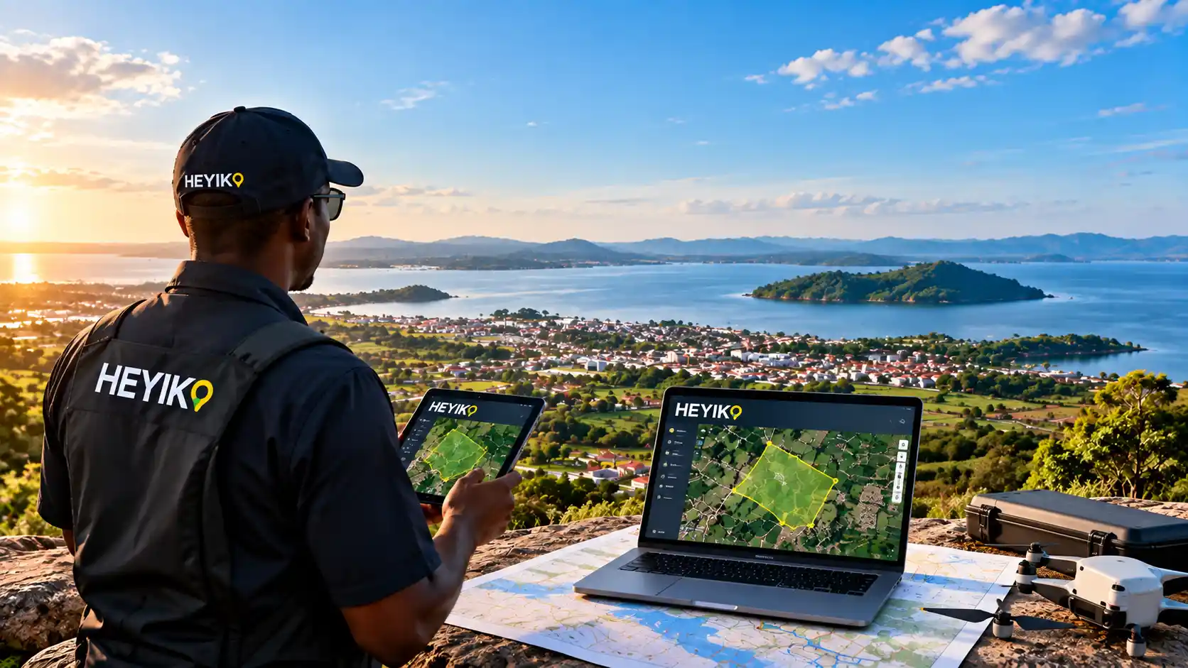

Turning Location Data into Smart Decisions
When most people hear the word map, they think of roads, places, boundaries, or directions.
But today, maps can do much more than simply show us where things are.
Modern spatial technology allows us to connect maps with data, imagery, digital platforms, and location-based information to create a deeper understanding of places. This can help people and organizations explore opportunities, understand their surroundings, manage information, and make more informed decisions.
This is the idea behind HEYIKO Spatial Technologies.
More Than Just Maps
At HEYIKO, we believe a map should not be the end of the journey. It should be the beginning.
A map can become a gateway to valuable information about a place. By combining mapping technologies with spatial data and digital solutions, it becomes possible to visualize information in ways that are easier to understand and use.
Whether you are an individual, business, institution, organization, or development project, location-based information can provide valuable context for the decisions you make.
HEYIKO is building solutions that connect location, data, and technology.
Explore Your Location Differently
Every location contains information.
A property has a location.
A farm has a location.
A business has a location.
A road, school, hospital, forest, water source, or development project has a location.
Understanding where these things are—and how they relate to their surroundings—can provide important insights.
HEYIKO helps turn this location information into clear maps, visual information, and digital spatial solutions that can make complex information easier to explore.
Digital Mapping for a Connected World
The world is becoming increasingly digital, and geographic information is part of that transformation.
Digital maps can be accessed through computers, smartphones, and web platforms. They can be updated, shared, explored, and connected with additional information.
This creates new possibilities for businesses and organizations that need to understand their assets, activities, projects, and areas of interest.
HEYIKO is exploring ways to make spatial information more accessible through web-based mapping, digital platforms, mobile solutions, and interactive spatial information.
Supporting Businesses with Location Intelligence
Location can influence many business decisions.
Where should a business expand?
What areas are being developed?
Where are customers and facilities located?
How are different places connected?
What information is available about a particular area?
These are examples of questions where location-based information can provide useful context.
HEYIKO’s spatial solutions are designed to help businesses and organizations visualize information, understand locations, and discover spatial relationships that can support better-informed decisions.
Unlocking the Potential of Land Information
Land is one of the most important resources in any community.
However, land information can sometimes be difficult to understand when it is stored only in documents, spreadsheets, or disconnected records.
Mapping and spatial visualization can make this information easier to see and understand.
HEYIKO is working toward solutions that can help users organize, visualize, and interact with location-based land information through modern digital technologies.
This can create a more convenient way of understanding places and the information associated with them.
From Agriculture to Environment
Spatial technology has applications far beyond urban areas and real estate.
Agriculture, environmental management, tourism, infrastructure, natural resources, disaster management, and community development can all benefit from understanding location and spatial relationships.
For example, agricultural information can be visualized geographically. Environmental features can be represented on maps. Tourism destinations can be connected to digital location information. Development projects can be visualized according to their geographic locations.
The possibilities are broad.
Where there is location, there is information—and where there is information, there is an opportunity to create better understanding.
Technology Designed for People
Technology should not make information more complicated.
It should make information easier to understand.
That is why HEYIKO focuses on developing practical spatial solutions that aim to bring complex geographic information closer to everyday users.
Our vision is to make spatial technology useful not only to specialists, but also to businesses, organizations, institutions, and individuals who want to understand their world through location-based information.
The Future Is Spatial
As digital transformation continues across Tanzania and Africa, the importance of location-based information will continue to grow.
The future will not simply be about having maps.
It will be about connecting maps with data, technology, people, and opportunities.
That is the space HEYIKO is working to explore.
From digital mapping and spatial data to innovative location-based platforms, HEYIKO is committed to discovering new ways of turning geographic information into practical digital experiences.
Beyond Maps. Beyond Boundaries.
HEYIKO is not just about creating maps.
It is about helping people see, understand, explore, and use location information in new ways.
Whether you are looking to visualize a project, explore location-based information, develop a digital mapping solution, or discover how spatial technology can support your organization, HEYIKO is ready to explore the possibilities with you.
Ready to Explore What Location Technology Can Do for You?
Your location contains information. Your information can create insight. And insight can create opportunity.
Discover the possibilities with HEYIKO Spatial Technologies.
Visit HEYIKO today and discover what spatial technology can do for you.