
How Geospatial Technology Is Changing the Way We Manage Land
Land is one of the most valuable resources in any society. It supports homes, agriculture, businesses, infrastructure, conservation, and economic development.
But managing land effectively requires more than simply knowing where a piece of land is located. It requires reliable information, clear visualization, organized data, and the ability to understand how different places and features relate to one another.
This is where geospatial technology is becoming increasingly important.
From digital maps and satellite imagery to spatial databases and location-based applications, geospatial technology is changing the way people and organizations understand and manage land.
What Is Geospatial Technology?
Geospatial technology refers to technologies used to collect, organize, analyze, visualize, and communicate information that has a geographic or location component.
It can include digital mapping, satellite imagery, geographic information systems, remote sensing, GPS-based technologies, spatial databases, web mapping, and other location-based digital solutions.
The power of these technologies comes from one simple idea:
Information becomes more meaningful when we understand where it is.
For land-related information, this can make a significant difference.
From Paper Maps to Digital Land Information
Traditionally, land information has often been represented through paper maps, documents, drawings, and physical records.
These resources remain important, but digital technology provides new ways of organizing and accessing information.
Digital maps can be updated, shared, visualized on computers and mobile devices, and connected to additional information.
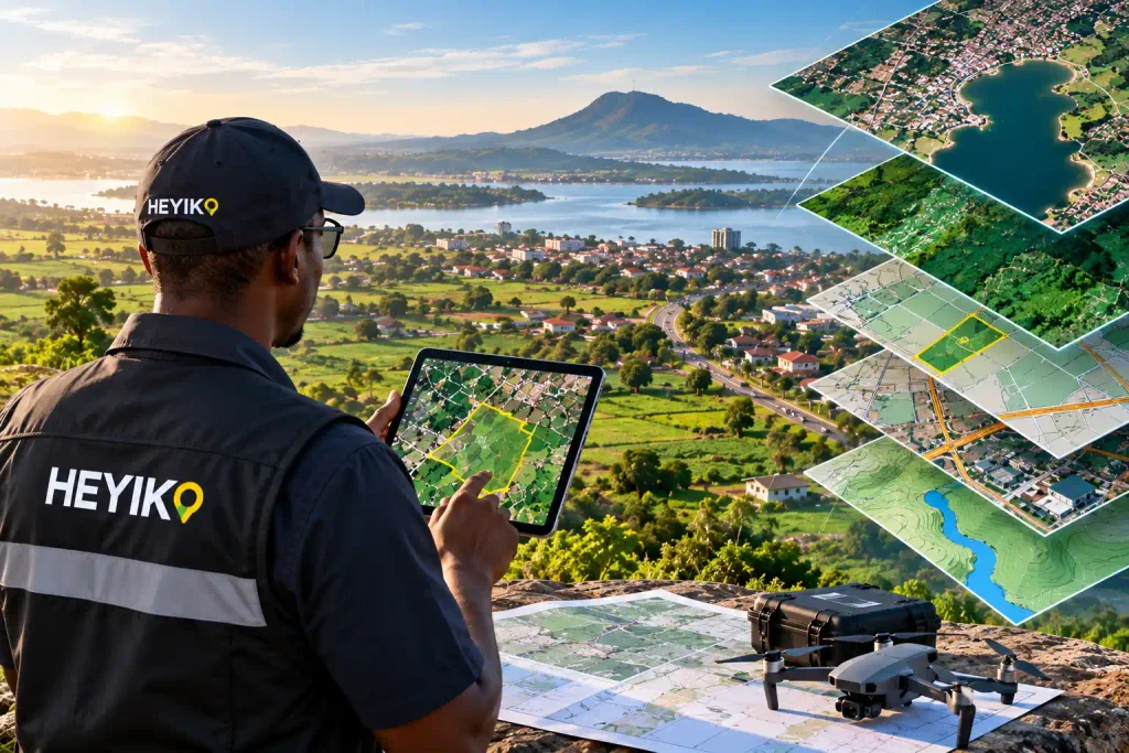
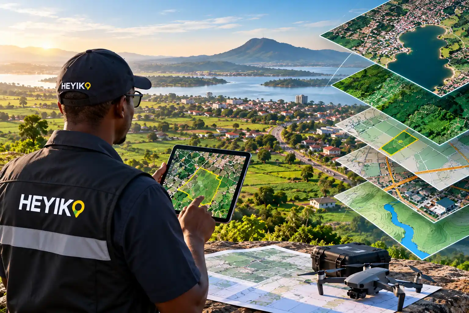
Instead of looking at a map as a static document, users can interact with spatial information and explore different layers of information about a particular location.
This transition from static maps to dynamic digital spatial information is one of the major ways technology is changing land management.
Understanding Land Through Maps and Data
A piece of land does not exist in isolation.
It may be connected to roads, settlements, rivers, farms, forests, public facilities, infrastructure, and other properties.
When these features are represented geographically, it becomes easier to understand their relationships.
For example, a digital map can help visualize:
- Land parcels and property-related information
- Roads and transportation networks
- Agricultural areas
- Water bodies and drainage features
- Buildings and infrastructure
- Environmental features
- Community facilities
- Development projects
- Areas of interest
When such information is organized properly, maps become more than illustrations—they become tools for understanding places.
Satellite Imagery: Seeing Land from a Different Perspective
Satellite imagery has transformed the way we observe the Earth’s surface.
Instead of relying only on information collected from the ground, satellite imagery allows users to view large areas from above.
This can help users observe changes in land cover, agricultural areas, settlements, vegetation, water bodies, and other geographic features over time.
For organizations working with large areas of land, this broader perspective can provide valuable context for research, monitoring, planning, and decision-making.
Making Land Information Easier to Access
One of the biggest opportunities presented by geospatial technology is accessibility.
With web-based mapping platforms and mobile applications, spatial information can be made available beyond traditional desktop environments.
A user can potentially access relevant location information through a computer, tablet, or smartphone.
This opens the door to new digital experiences where people can explore locations, view maps, access information, and interact with geographic data from wherever they are.
Supporting Agriculture
Agriculture depends heavily on location.
Farmers and agricultural organizations need to understand where farms are located, how land is distributed, what areas are being cultivated, and how environmental conditions vary across different locations.
Geospatial technology can help visualize agricultural information on maps and connect it with other forms of data.
This can support activities such as agricultural monitoring, farm information management, resource planning, and understanding changes across agricultural areas.
Supporting Environmental Management
Land management is closely connected to environmental management.
Forests, wetlands, water bodies, wildlife habitats, agricultural land, and settlements all occupy geographic space and interact with one another.
Geospatial technologies can help visualize these features and provide a clearer picture of how landscapes are changing.
By combining maps, imagery, and spatial information, organizations can better understand environmental conditions and identify areas that may require attention.
Supporting Real Estate and Property Information
Location is fundamental to real estate.
The value, accessibility, surroundings, and potential of a property are all influenced by its geographic context.
Digital mapping can help users visualize properties in relation to roads, settlements, services, natural features, and other surrounding information.
For businesses and property-related organizations, this can create better ways of presenting and understanding location-based information.
Better Information for Better Decisions
One of the most important benefits of geospatial technology is its ability to bring different pieces of information together.
Instead of viewing information separately, spatial technology can help users see how different factors relate to a particular location.
This can support more informed decisions by providing a clearer picture of the geographic context.
The technology does not make decisions for people.
Rather, it provides information and insights that can help people make decisions based on a better understanding of the places involved.
The Future of Land Management Is Digital
As digital transformation continues, land information is becoming increasingly connected to digital platforms.
The future is moving toward systems where maps, satellite imagery, spatial databases, mobile applications, web platforms, and other technologies work together.
This means land information can become more accessible, visual, connected, and useful.
For Tanzania and the wider African continent, this transformation presents significant opportunities.
There is a growing need for solutions that can connect local realities with modern digital technologies and make spatial information easier to understand and use.
How HEYIKO Is Contributing
At HEYIKO Spatial Technologies, we see geospatial technology as a bridge between location, information, and opportunity.
Our focus is on developing and delivering modern spatial solutions that can help individuals, businesses, institutions, and organizations interact with location-based information in practical ways.
From digital mapping and spatial data visualization to web and mobile solutions, HEYIKO is exploring how technology can make geographic information more accessible and useful.
We believe that better understanding of location can lead to better information—and better information can support better decisions.
A New Way to Think About Land
The way we manage land is changing.
Maps are becoming digital.
Information is becoming connected.
Imagery is becoming more accessible.
Data is becoming more visual.
And location is becoming increasingly important in the digital economy.
Geospatial technology is helping us move from simply knowing where something is to understanding what is there, what surrounds it, how it is changing, and what information can help us make better decisions.
That is the real power of geospatial technology.
The Future Is Spatial
As technology continues to evolve, the opportunities for smarter land information management will continue to grow.
HEYIKO Spatial Technologies is committed to being part of that journey—developing innovative ways to connect people, places, data, and technology.
Because when we understand our land better, we can understand our opportunities better.
es.