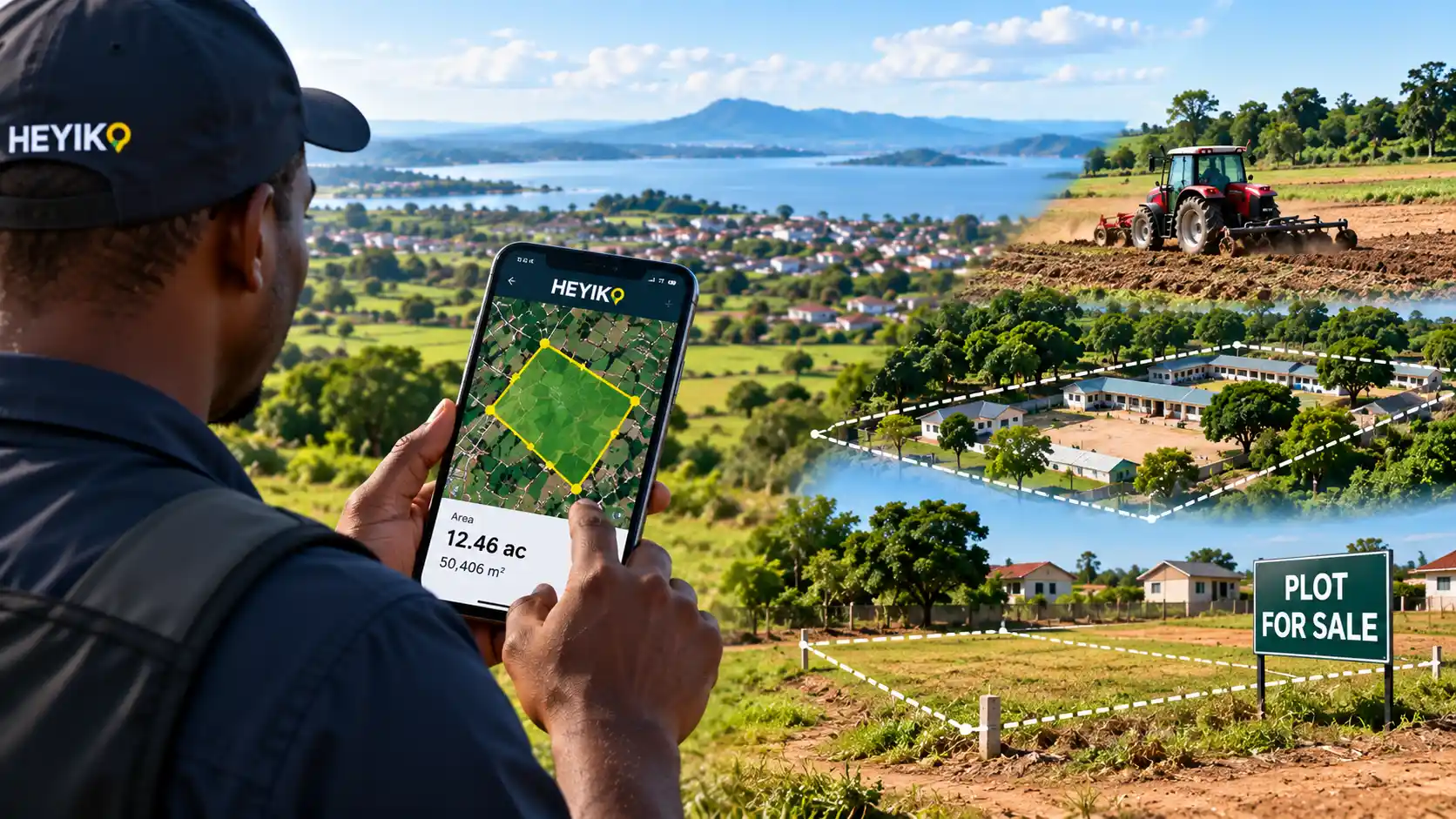

Measure Your Land with HEYIKO App
Stop Guessing. Start Understanding Your Land.
How big is your land?
It sounds like a simple question. But in many situations, the answer is often based on estimates, memory, footsteps, or rough calculations rather than clear location-based information.
A person may say, “This plot is about 50 by 50.”
Another may say, “It is around two acres.”
A farmer may tell a tractor operator, “Plough this whole area; it is approximately five acres.”
An institution may describe its land as “about ten acres” because that is the figure they have always used.
These estimates may sometimes be close to the actual size—but sometimes they can be significantly different.
This is where the HEYIKO App introduces a more convenient way to understand the approximate size and location of an area using digital mapping technology.
The Problem with Measuring Land by Footsteps
Imagine two people are discussing a piece of land they want to buy or sell.
Instead of using a map or digital measurement, they walk around the area counting their steps.
“From this tree to that corner is about 80 steps.”
“From here to the road is about 100 steps.”
They then use these estimates to calculate the approximate size.
The problem is simple: a person’s step is not a standard unit of measurement.
Different people have different stride lengths. The terrain can also affect how someone walks. A straight line may not actually be followed, and corners can easily be estimated incorrectly.
This can create misunderstandings between buyers and sellers.
“Hili eneo ni ekari ngapi?”
This is a common question when people are dealing with agricultural land.
A farmer may know the general location of a farm but may not know its actual approximate area.
Sometimes the size is estimated based on previous use:
“We normally cultivate about three acres here.”
Or the farmer may estimate the area by looking at the land and comparing it with another farm.
But land can have irregular shapes.
One side may be longer than another. A farm may have curves, slopes, trees, streams, or other features that make visual estimation difficult.
With a digital map, however, it becomes possible to outline an area and obtain an approximate calculated area instead of relying entirely on visual estimation.
Helping Farmers Understand Their Fields
Consider a farmer who wants to hire a tractor.
The tractor operator asks:
“How many acres should I cultivate?”
The farmer may respond:
“Approximately five acres.”
But what if the actual cultivable area is smaller or larger?
An inaccurate estimate can affect:
- Tractor costs
- Fuel requirements
- Time required for cultivation
- Seed requirements
- Fertilizer estimates
- Farm management records
- Production planning
With HEYIKO App, a farmer can use the map to identify the area of interest and obtain an approximate area calculation.
This does not replace professional surveying where legally required, but it can provide a useful digital reference for everyday planning and decision-making.
Understanding the Size of Institutional Land
Schools, churches, hospitals, NGOs, companies, farms, and other institutions may own or manage large areas of land.
Sometimes the size of such land is described using estimates:
“Our institution has about 20 acres.”
But where did the figure come from?
It may have been inherited from an old document, verbal information, or an old estimate.
Over time, people may continue using the same figure without having an easy way to visualize the area.
HEYIKO App can help institutions create a digital visual representation of their area of interest, making it easier to understand the approximate extent and location of the land on a map.
This can be useful for internal planning, documentation, project discussions, and understanding the spatial context of institutional assets.
What About Land Being Bought or Sold?
This is another situation where understanding location and approximate area can be valuable.
A buyer may be shown a piece of land and told:
“This is one acre.”
But instead of relying only on a verbal description, the buyer can use digital mapping to visualize the area and understand its approximate size and location.
HEYIKO App can help users:
- Locate an area on a map
- Mark the corners of an area
- Connect points to form a polygon
- Calculate the approximate area
- Calculate approximate distances
- View the area over satellite imagery
- Save the information for future reference
This can provide an additional layer of information during early discussions and planning.
However, an app-based measurement should not be treated as a substitute for an official boundary survey, title verification, or other legally required land procedures.
Measure Irregular Areas
Not every piece of land is a perfect rectangle.
Some areas have irregular shapes.
One side may follow a road. Another may follow a river. Another may border another property.
Trying to calculate such an area manually can be difficult.
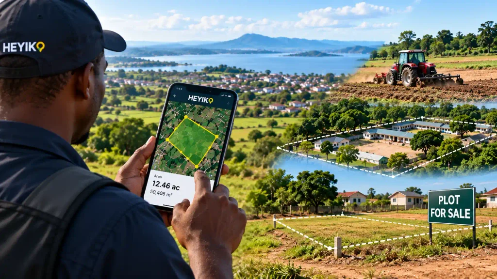
With HEYIKO App, users can place points around an area on the map and create a polygon that follows the shape they want to visualize.
The application can then calculate the approximate area of that polygon.
This makes it easier to answer questions such as:
“How large is this area?”
“How much land are we working with?”
“What is the approximate size in acres or square metres?”
More Than Measuring Area
The idea behind HEYIKO App is not simply to calculate a number.
It is about helping people understand their location through digital maps.
For example, a user may want to:
1. View the Area on Satellite Imagery
Instead of looking at an empty map, users can view the surrounding landscape through satellite imagery where available.
2. Mark Important Points
Users can identify locations such as corners, entrances, buildings, farms, water points, roads, or other points of interest.
3. Create an Area
By connecting multiple points, users can create a polygon representing an area of interest.
4. Calculate Approximate Area
The application can calculate the area represented by the polygon and display it in useful units such as square metres or acres.
5. Calculate Distances
Users can also measure approximate distances between selected points or locations.
6. Save the Information
Instead of starting again every time, users can save their work and return to it later.
7. Share or Export Information
Depending on the final features of the application, users can generate or export maps and location information for personal records, discussions, planning, or other appropriate uses.
Imagine Walking Around Your Land with HEYIKO
One of the exciting possibilities of the HEYIKO App is the ability to take your map with you.
Imagine walking around an area with your smartphone.
You reach one corner and mark it.
You move to another corner and mark it.
You continue until you have identified the points you want.
The application connects the points and creates a visual representation of the area.
You can then see the shape of the area on the map and obtain an approximate calculation.
Your phone becomes a window into your location.
Who Can Benefit from HEYIKO App?
The application can be useful to many different users, including:
Farmers — to understand the approximate size of fields and support farm planning.
Landowners — to visualize and organize information about areas of interest.
Businesses — to explore locations and maintain spatial information related to their activities.
Institutions — to visualize land and facilities for internal planning and documentation.
Real estate professionals — to present location information and support preliminary discussions.
Project organizations — to visualize project locations and areas of interest.
Researchers and students — to explore and learn from geographic information.
Individuals — to understand places and locations around them using digital maps.
A Important Difference: Approximate Measurement vs. Official Survey
Technology can make land information easier to understand, but it is important to understand its limits.
The HEYIKO App is designed to provide digital mapping, visualization, and approximate location-based measurements.
It should not be presented as a replacement for professional cadastral surveying, official boundary determination, title verification, or other procedures that require qualified professionals and compliance with applicable laws and regulations.
In simple terms:
HEYIKO helps you understand and visualize your land.
Where an official legal measurement or boundary determination is required, consult the appropriate qualified professional.
From Guesswork to Digital Understanding
For many people, the challenge has never been the lack of interest in knowing the size of their land.
The challenge has been access to simple tools that can help them visualize and understand location information.
Instead of asking:
“How many steps is it?”
You can ask:
“What does the map show?”
Instead of saying:
“I think this is about five acres.”
You can create an approximate digital measurement and see the area represented visually.
Instead of describing a location only with words, you can show it on a map.
That is the opportunity HEYIKO is bringing closer to everyday users.
Your Land. Your Map. Your Information.
The future of land information is becoming increasingly digital.
With the HEYIKO App, understanding the approximate size and location of an area can become easier, more visual, and more accessible.
Whether you are managing a farm, exploring a property, planning an institutional project, or simply curious about the size of an area, HEYIKO gives you a new way to interact with location information.
Don’t just estimate your land. Explore it. Visualize it. Understand it.